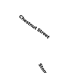
337 CHESTNUT ST
Owner Information
CAMPBELL KEVIN M
337 CHESTNUT ST
HUDSON, MA 01749


Property Details
337 CHESTNUT ST is classified as a Single Family Residential (Colonial).
The primary structure on this property was built in 1999. There are 4,923ft2 of built area within this property. There is 2,684ft2 of residential/living space within this property. This property is listed as having 8 rooms.
337 CHESTNUT ST is valued at $621,900. The land is valued at $203,200 and the structures are valued at $418,700.
This property is in Zone SA5. Confirm with local Zoning Board authorities to ensure there are no overlays or other easements on this property.
The most recent deed for 337 CHESTNUT ST is recorded at the local registrar in Book 30655, Page 492. 337 CHESTNUT ST was last sold on Tuesday, September 14, 1999 for $359,000.
Assessment data from fiscal year 2021.
Flood Data
According to the FEMA National Flood Hazard Layer, this property does not appear to be in a flood zone. It may also be in an area not yet reviewed. Nonetheless, confirm this information prior to taking any action.
To view the flood hazards around this property, create a FEMA "Firmette" Map of the area around 337 CHESTNUT ST.
Broadband Internet Providers
| Provider | Type | Bandwidth (mbps) | |
|---|---|---|---|
| HughesNet | Satellite | 25 | 3 |
| GCI Communication Corp. | Satellite | 0 | 0 |
| Comcast | Cable | 1000 | 35 |
| Verizon New England Inc. | Fiber | 940 | 880 |
| Viasat Inc | Satellite | 100 | 3 |
| VSAT Systems, LLC. | Satellite | 2 | 1 |
Broadband service provider data from December 2020.
Adjacent Properties
- CHESTNUT ST
Vacant, Conservation (Municipal or County) owned by TOWN OF HUDSON - 9 BEECHNUT LN
Single Family Residential owned by CALLANDER MICHAEL A - 341 CHESTNUT ST
Single Family Residential owned by VARA CARMINE A JR - 339 CHESTNUT ST
Single Family Residential owned by GREGORY R & NANCY B LOMOTTA - 335 CHESTNUT ST
Single Family Residential owned by HATCH ROBERT B